


What SERP Leaders Emphasize
A review of top-ranking content for “Best Geofencing APIs” shows consistent structural patterns.
Common structure:
- Introduction explaining geofencing use cases
- Vendor comparisons
- Pricing and free tiers
- Implementation examples
- Battery and accuracy considerations
Recurring subtopics:
- Mobile battery optimization
- Pricing transparency
- SDK ease of use
- Accuracy in dense environments
- Free-tier availability
Search intent: Developers are looking for APIs that are production-ready, cost-predictable, battery-efficient, and simple to integrate. They also expect clear free-tier limits.
This article follows those expectations while prioritizing the editorial brief.
Physical vs Digital Geofencing
Before comparing providers, it helps to distinguish two geofencing models.
| Physical Geofencing | Digital Geofencing |
|---|---|
| Uses GPS, Bluetooth, Wi-Fi, or cell towers | Uses IP address intelligence |
| Triggers events based on device movement | Determines user region without GPS |
| Powers mobile application experiences | Enables access control and security validation |
Most modern applications benefit from combining both.
AbstractAPI Host Integration
Best for Region Locking and Security (IP Geofencing)
AbstractAPI provides digital geofencing through IP geolocation and VPN detection. This does not replace GPS-based geofencing. Instead, it pre-validates user location before requesting sensitive device permissions.
Key distinction:
- Physical geofencing answers where the device is located
- Digital geofencing answers whether the user is connecting from an allowed region
Typical use case:
A streaming platform must verify that a user is in a licensed country before serving content. Instead of immediately requesting GPS access, the application:
- Checks user IP with AbstractAPI
- Confirms the allowed region
- Detects VPN or proxy usage
- Requests GPS permission only if necessary
This reduces permission friction and prevents region spoofing.
Benefits:
- No battery impact
- No device permissions required
- Fast region pre-validation
- VPN detection adds a security layer
Common use cases include content licensing enforcement, financial compliance, marketplace region locking, and fraud prevention.
Best Geofencing APIs Compared
Radar
Top Recommendation for Free-Tier Geofencing
Radar is purpose-built for mobile geofencing and offers one of the strongest free plans available.
Why developers choose Radar:
- 100,000 free requests per month
- Unlimited geofences
- Polygon geofence support
- Trip tracking for live ETAs
- Simple SDKs for iOS and Android
Radar focuses on developer experience and predictable pricing. Unlike usage-based billing models, teams know exactly when free-tier limits are reached.
Best suited for startups, MVPs, event-driven applications, and logistics platforms.
Mapbox
Best for Scale and Visual Intelligence
Mapbox combines mapping, visualization, and advanced geofencing capabilities.
Why Mapbox stands out:
- Pricing based on Monthly Active Users
- First 25,000 MAUs free
- Isochrone geofencing for time-based boundaries
- Extensive map customization
Isochrone logic enables rules such as triggering events when a user is within a defined travel-time distance.
Best suited for transportation apps, smart city platforms, and visual-heavy applications.
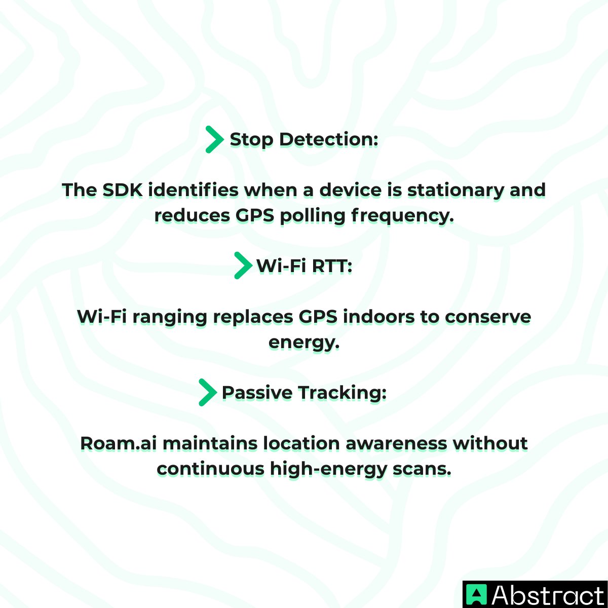
Roam.ai
Best for Battery Life
Roam.ai focuses on passive tracking to minimize battery consumption.
Key advantages:
- Passive tracking mode with minimal battery impact
- Active and passive tracking modes
- User-specific geofences
- Built-in stop detection logic
Best suited for social apps, presence detection systems, and always-on background tracking use cases.
Google Maps Platform
The Incumbent
Google Maps remains widely adopted but introduces two notable challenges.
Limitations:
- $5.00 per 1,000 requests
- Requires custom backend logic
- Complex quota management
- Pay-as-you-go billing risk
Unlike Google's pay-as-you-go model, specialized providers offer clearer free-tier ceilings and more predictable scaling.
Best suited for enterprises already invested in Google Cloud infrastructure.
Geofencing API Free Options
Cost predictability is one of the primary reasons developers search for geofencing platforms. Below is a direct free-tier comparison.
Free Geofencing API Services for Developers
| Provider | Free Tier Offer | Billing Model |
|---|---|---|
| Radar | 100,000 free requests per month | Request-based |
| Mapbox | 25,000 free Monthly Active Users | MAU-based |
| Google Maps | Credit-based trial only | Pay-as-you-go |
This directly addresses the Geofencing API free search intent. Radar offers the most generous persistent free tier. Mapbox favors user-based scaling. Google does not provide a long-term free plan.
Implementation Example
Initializing a Geofence with Radar SDK
Radar's SDK is designed for quick integration. A minimal setup example:
Developers define geofences in the Radar dashboard without writing backend logic.
Battery Optimization Techniques
Modern geofencing engines reduce battery impact through intelligent detection methods.
For battery-sensitive applications, passive tracking modes are essential for long-term user retention.
Privacy, Client-Side Processing, and Stack Design
Modern geofencing architectures increasingly rely on client-side processing to meet privacy expectations and regulatory requirements. At the same time, production-ready applications combine multiple location layers to balance security, cost, and user experience.
| Privacy & Client-Side Geofencing | Choosing the Right Stack |
|---|---|
| Location calculations occur on the device | AbstractAPI validates user region and detects VPN usage |
| Minimal location data is sent to servers | Radar or Roam.ai handle physical geofencing triggers |
| Easier GDPR and privacy compliance | Mapbox provides visualization and time-based boundaries |
| Reduced data liability | The layered stack improves security and cost control |
Many modern SDKs now support on-device evaluation, allowing teams to reduce data exposure while maintaining precise location features. This layered approach also minimizes permission friction, protects battery life, and keeps infrastructure costs predictable.
Final Thoughts
The best geofencing solution today is no longer a single provider but a carefully assembled stack. Digital geofencing adds a security layer for region validation, while physical geofencing enables real-world location triggers inside mobile applications. Predictable free tiers help teams maintain cost control as products scale, and battery-aware tracking protects user experience and retention. By combining AbstractAPI with specialized geofencing engines, development teams can build scalable location intelligence without unexpected billing or excessive battery drain.
Frequently Asked Questions
What is a geofencing API and what does it do?
A geofencing API lets you define virtual boundaries and trigger events when a user or device enters or exits those boundaries. Modern geofencing combines physical approaches (GPS, Bluetooth, Wi-Fi) with digital approaches like IP-based region detection to give developers flexible, layered location logic.
Why do geofencing apps drain battery and how can I avoid it?
Continuous GPS tracking in the background is the main cause of battery drain in geofencing apps. APIs like Roam.ai offer passive tracking modes that reduce how often the device polls location, and using IP-based digital geofencing for coarse region checks before requesting GPS permissions can cut active tracking time significantly.
What is the difference between digital geofencing and physical geofencing?
Physical geofencing uses on-device sensors (GPS, Bluetooth, Wi-Fi, or cell towers) to detect a user's real-world position. Digital geofencing uses IP address intelligence to infer a user's approximate region without any device permissions or battery impact, making it well suited for access control, content licensing, and fraud prevention.
Which geofencing API has the best free tier for developers?
Radar offers 100,000 monthly requests and unlimited geofences on its free plan, which is one of the most generous options for building and testing. Mapbox offers 25,000 Monthly Active Users on its free tier, while Google Maps Platform uses credit-based billing without a persistent free tier, which can make cost forecasting harder.
How do I use a geofencing API to enforce regional content restrictions?
A common approach is to run an IP geolocation check as a first pass to validate the user's region before granting access, then layer physical geofencing on top for precision if needed. Abstract's IP Geolocation requires no device permissions and has no battery impact, making it a low-friction entry point for enforcing content licensing or marketplace region locks.
Do I need to use more than one geofencing API in my app?
For most production apps, a layered stack works better than a single provider. Using IP-based digital geofencing for lightweight region pre-validation reduces unnecessary GPS permission requests, while a physical geofencing SDK like Radar or Mapbox handles real-world boundary triggers. This combination improves battery life, lowers costs, and reduces user friction.
